
By Christopher B. Daly
Here are two maps that don’t just sit there. Both are interactive, so have a great time with them.
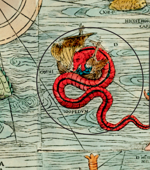
Here’s a gorgeous medieval map from “Future Tense,” via Slate. It shows the North Atlantic as envisioned by Scandinavian navigators who had to venture out there in small wooden boats. No wonder they saw monsters.
Here’s one from the Smithsonian that lets you superimpose a map of New York City from 1836 over one from today (or vice-versa).

